The American Blueprint for Safe Urban Drone Operations
Tulsa is redefining safe drone operations in the sky across delivery, medical logistics, emergency response, and beyond.






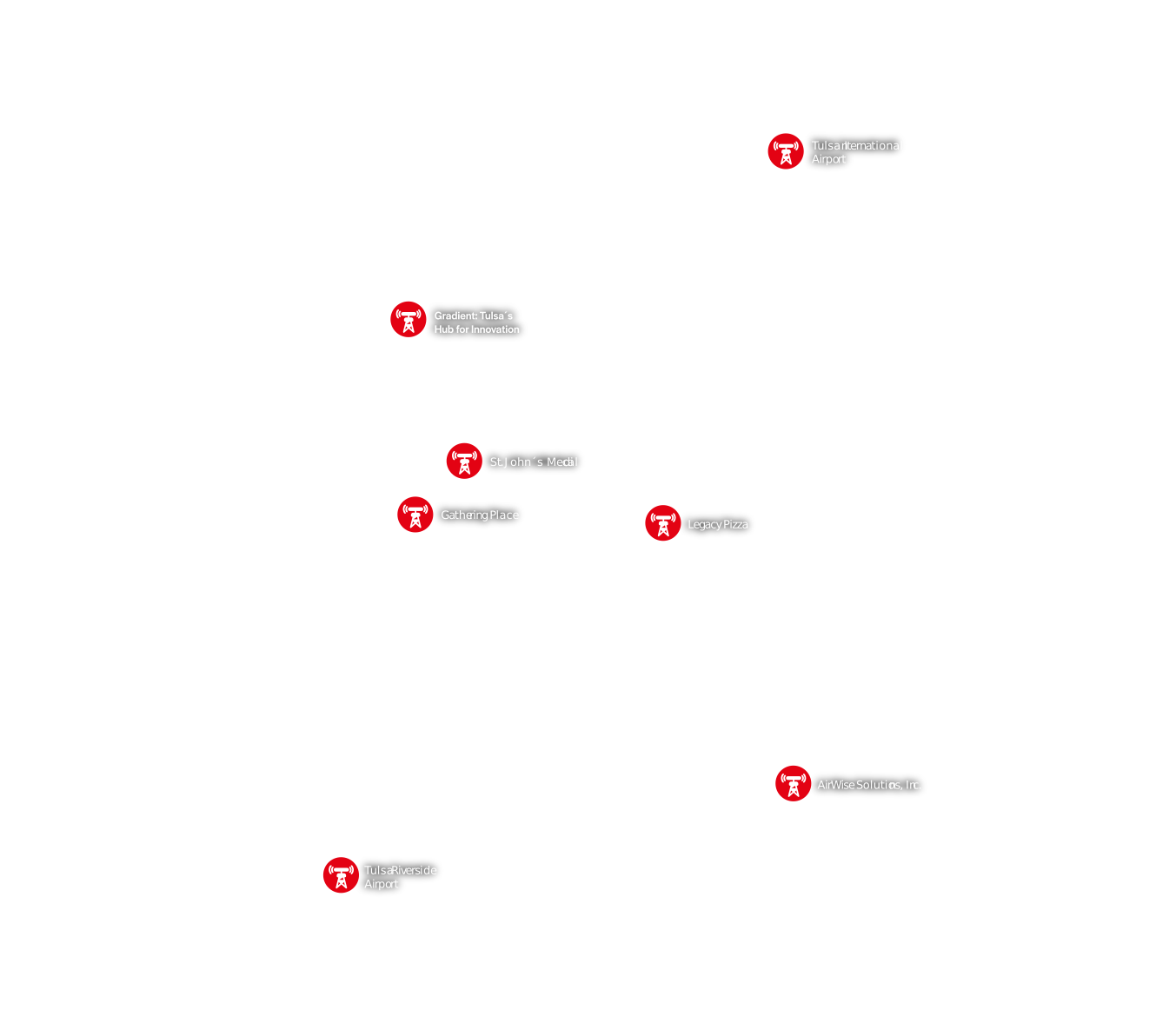
The Secure Autonomy Feedback and Evaluation Testbed (SAFE-T) project and technology enables a first-of-its-kind system for drone delivery in the Tulsa region. This map showcases the coverage area.
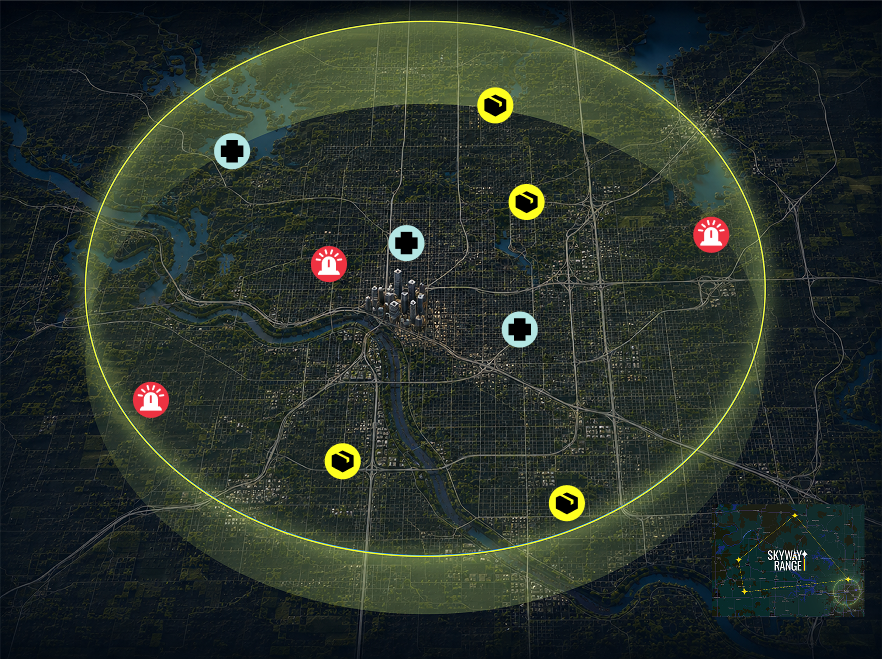


The Secure Autonomy Feedback and Evaluation Testbed (SAFE-T) project and technology enables a first-of-its-kind system for drone delivery in the Tulsa region. This map showcases the coverage area.

The American Blueprint for Safe Urban Drone Operations
Tulsa is redefining safe drone operations in the sky across delivery, medical logistics, emergency response, and beyond.


The Secure Autonomy Feedback and Evaluation Testbed (SAFE-T) project and technology enables a first-of-its-kind system for drone delivery in the Tulsa region. This map showcases the coverage area.

Safety Sensor Locations: devices that monitor drone location in real time, keeping the airspace safe
Bridges Skyway Range to city airspace for BVLOS training and integration
Anchors core public safety operations, hospital zones, and university corridors
Connects University of Tulsa and Fairgrounds security/event response footprint
Links Saint Francis to key medical facilities and river zones with frequent calls for service
Heading
Lorem ipsum dolor sit amet, consectetur adipiscing elit. Suspendisse varius enim in eros elementum tristique. Duis cursus, mi quis viverra ornare, eros dolor interdum nulla, ut commodo diam libero vitae erat. Aenean faucibus nibh et justo cursus id rutrum lorem imperdiet. Nunc ut sem vitae risus tristique posuere.


The Secure Autonomy Feedback and Evaluation Testbed (SAFE-T) project and technology enables a first-of-its-kind system for drone delivery in the Tulsa region. This map showcases the coverage area.